
Established Fact
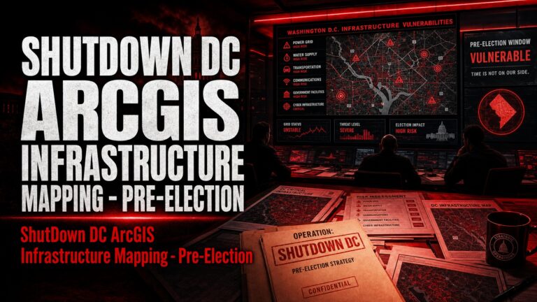
ShutDown DC leadership used ArcGIS geographic information software to map vulnerabilities in Washington, D.C.’s critical infrastructure — including bridges, government buildings, transportation chokepoints, and telecommunications nodes — and trained activists in “Hong Kong-style” riot tactics and infrastructure blockade techniques. This mapping and training was conducted before the election, in explicit anticipation of a contested result, as confirmed by leaked Zoom calls.
The Tactical Framework
The video’s framing and tactical language are rooted in the “Pillars of Power” (also called “Pillars of Support”) doctrine — the foundational framework of Gene Sharp (186 Methods of Nonviolent Action, 1973), operationalized by Srdja Popovic’s CANVAS (Center for Applied Nonviolent Action and Strategies) and exported globally through the Arab Spring trainings, and then domestically through Beautiful Trouble — the organization where Nadine Bloch (identified facilitator of the Election Simulation videos) serves as Training Director.
The connection is direct and documented:
CANVAS trained Egyptian, Tunisian, Syrian, and Libyan activists in the Pillars of Power framework prior to the 2011 Arab Spring. Foreign Policy named CANVAS founder Srdja Popovic a “Top 100 Global Thinker” of 2011 specifically because “his group (Otpor!) inspired the Arab Spring protesters directly and indirectly.”
Beautiful Trouble — co-founded by the same transnational activist network — explicitly applies the same “Pillars of Power” framework to the 2020 U.S. election in Nadine Bloch’s own October 2020 article: “Using the Pillars of Power analysis, we can imagine our government as the roof of a building, held up by pillars such as the education system, the courts, the military, federal employees, media… We can reach these people and get them to walk away from their role, weakening and possibly crumbling this pillar, thus bringing down the whole structure.”
The same Pillars framework also explicitly calls for a general strike and withdrawal of consent from governance as the ultimate lever — directly mirroring the tactics described in this video.
Obstruction Themes — Key Elements
Framing a Trump Victory as a “Coup” — Triggering the Operational Plan
The video opens with speakers — including a current federal employee and a former DHS contractor — establishing the narrative trigger for action:
“I think making sure that we’re naming what is happening as a coup.”
“In the Shutdown DC conversations that I’ve been having… we also are often saying, ‘Let’s call it a coup.'”
“Do we have any plans for how to respond if there’s a coup?”
This mirrors the exact language coached in the Democracy Defense video — the pre-positioning of any Trump victory or certification challenge as a “coup,” which then activates the operational response described below. The DHS contractor’s participation is particularly significant: this is someone with knowledge of government infrastructure, access points, and security protocols discussing plans to physically obstruct government operations.
Day-by-Day Operational Shutdown Timeline — November 4, 5, 6
The most operationally alarming content is the specific, date-keyed action plan for the days immediately following the 2020 election:
Speaker 4: “On the 5th, we’re gonna shut down the White House.”
Speaker 5: “Map the White House and know every access point so we know we can blockade it.”
Speaker 4: “On the 6th, we’re gonna shut down larger parts of Washington, D.C.”
This is not hypothetical planning — it is a specific, sequenced, location-mapped blockade operation targeting the White House and the broader D.C. government district, timed to the days immediately following a contested election result. Speaker 5 explicitly instructs participants to conduct advance target mapping:
“We’ve been working on a target map and a framework for scenario. So where are all the police stations? Where are all the key government buildings? Who are the Trump boosters?”
Identification of police stations, government buildings, and named individuals (“Trump boosters”) as tactical targets is surveillance and pre-operational intelligence gathering — the same methodology used in the CANVAS/Otpor! training framework for identifying and eroding “pillars of support.”
Blockading Members of Congress at Transportation Hubs
“Members of Congress that are coming in, we’re gonna meet them at the airports or at Union Station, and send them back to where they came from until we deal with the situation that we’re in.”
This is an explicit plan to physically prevent elected Members of Congress from reaching the Capitol — a direct obstruction of the constitutional process of Electoral College certification, which was scheduled to occur on January 6, 2021. The tactic of blocking transportation infrastructure to prevent government function is drawn directly from the CANVAS playbook used in Serbia (2000), Ukraine (2004), and Egypt (2011).
Explicit Incitement to Armed Conflict and Seizure of Government Buildings
The most incendiary statements in the video come from Speaker 5, who moves beyond civil disobedience into explicit calls for armed conflict and building seizures:
“Whoever’s got the guns can win. Let’s take over the buildings. If there are people that are willing to do that, we should support them.”
“We are going to be in a crisis, but we want it to be one that we are creating.”
“We’re gonna see potential fighting all over the country or in some hotspots, right? We’ve already seen that, and so how do we work together across the country to help support each other no matter where we are, and to maximize our impact by doing similar things on similar days at similar times.”
“We have to be willing to put our bodies on the line and take on some discomfort, sacrifice, risk in order to change things.”
“Chaos is a soup by which change emerges. Let’s get cooking.”
The phrase “chaos is a soup by which change emerges” is a direct encapsulation of the Otpor!/CANVAS theory of “dilemma actions” — creating a crisis situation that forces the opponent (in this case, the government) into a position where any response strengthens the movement. This is the same doctrine used to destabilize Milosevic, Mubarak, and Ben Ali.
Media Leaking as a Coordinated Weapon
“If you read the mainstream press, like they all have Signal accounts. Text them, leak everything you can.”
This is a direct instruction — delivered to an audience that includes federal employees and national security community workers — to use encrypted communications to feed unauthorized government information to journalists. Combined with the Democracy Defense video’s instruction to move sensitive planning to Signal, this creates a coordinated media warfare component: leaking to destabilize the administration from within while street operations destabilize it from without.
Citations
Just The News, “Leaked Zoom Calls Show Extensive Preparation for Organized Protests and Unrest in DC” (reporting on pre-election ShutDown DC planning sessions, including infrastructure targeting and “Hong Kong-style” tactics training).
Fox News, “Election Day White House Demonstrations: Leaked ShutDown DC Zoom Calls” (corroborating pre-election ShutDown DC mobilization planning and infrastructure blockade preparation).
Weaver, M. [Millennial Millie]. (n.d.). The Enemy from Within. Millennial Millie. https://www.millennialmillie.com/post/enemies-from-within-the-secret-shadow-campaign-that-interfered-in-the-2020-election-plotted-to-an
18 U.S.C. § 2101 (federal riot statute — travel in interstate commerce to incite riot).
18 U.S.C. § 371 (conspiracy to commit offense against the United States).