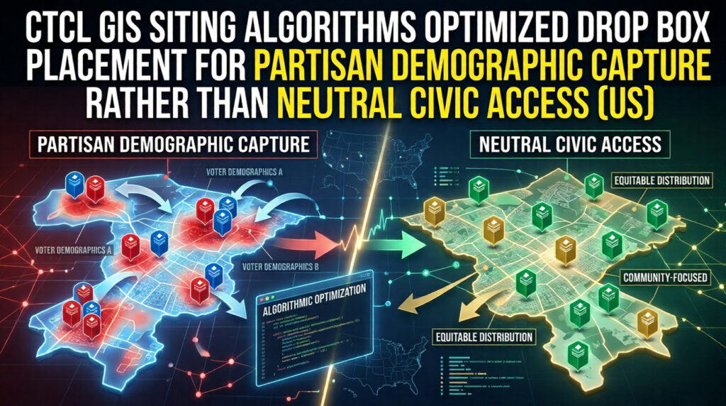
CTCL GIS Siting Algorithms Optimized Drop Box Placement for Partisan Demographic Capture Rather Than Neutral Civic Access (US)
Reasonable Inference CTCL and the Center for Civic Design (CCD) used internal GIS mapping and geolocation data to determine the physical placement of drop boxes. The documented result – extreme per-voter and per-square-mile disparities favoring Democratic urban precincts nationwide (e.g., 1 box per 4,000 voters in Delaware County, PA vs. 1 per 72,000 in Trump